
Outer Heb-walk
Baleshare walking route
Key Facts
- Location: Outer Hebrides
- Size: 910 ha
- Terrain: Beach, tracks, small lanes
- Access: Causeway
- Height gain: 157 m
- Map: OS Explorer 454 North Uist & Berneray
- Starting point: Island causeway; Grid ref. NF 798 627
Baleshare walk summary
A flat, easy, mostly free-range walk around Baleshare on farm tracks, lanes and footpaths.
Baleshare walk route description
Starting at the road causeway the route heads north and loops around the first headland on the foreshore, crosses a small tidal inlet and then finds the farm lane to join the main island road in the north. At higher tides or for simpler navigation you can omit this part of the walk and use the island lanes to head directly to the beach on the west coast.
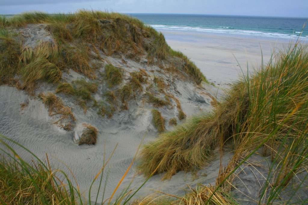
The lanes leading to the west coast are fringed by flat fields, grazing sheep and reeds of the crofted land. Once on the west coast there is an easy track to follow that meanders along the base of the dunes that fringe the entire length of the beach. It is possible to reach the highest point on the southern tip, although this may require some ‘brush-bashing’ to get there. It is worth it though for the views across the shallow waters to Benbecula Airport.
The return leg up the east coast is easy walking. Flat terrain, short carpet-like grass and occasional bog-hopping before returning to the causeway on the island lane. Download the GPX route for more information.


Join our Islandeering community
We continuously find new islands, rivers, lochs, canals and coast to walk, SUP and swim in and meet plenty of great folks along the way. Join our community to get new routes and adventures, latest blogs and news by using the email box below. Tune in also to our Facebook and Instagram pages to see where we are going next.