


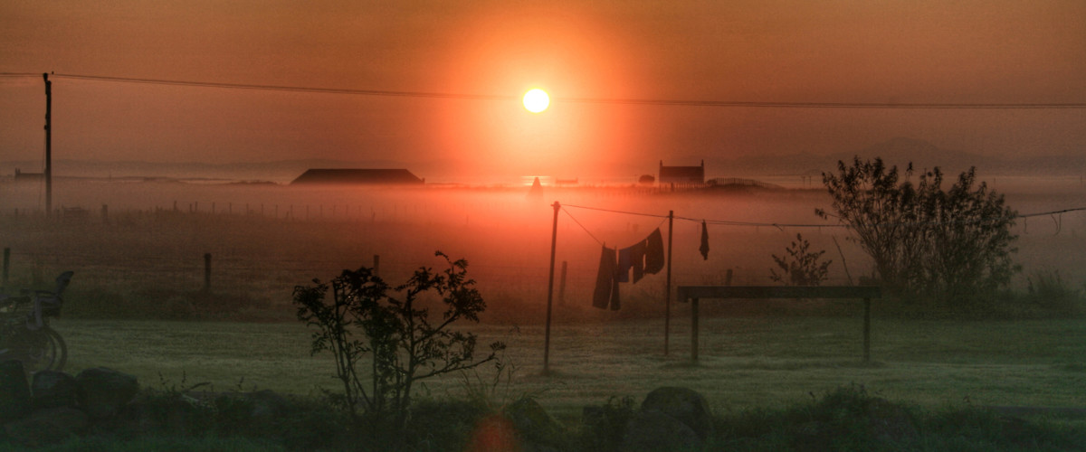
Main centre: Scarinish – for bank, Co-op, ferry terminal and a bar at the Scarinish Hotel
Hostel: The Millhouse Hostel is an excellent option. managed by Kris (from Tiree Sea Tours) and his wife Aisling. Peacefully located near Loch Bhasapol and just a short walk to Cornaig Beach. Campervans & motorhomes: Croft camping is as good as wild camping and protects the pristine environment, there are several locations doted around the island but they must be booked in advance. Campsite: peacefully located Balinoe offers facilities for camping; motorhome pitches; pods; and a bothy. Other properties: Alan Stevenson House – the Hebridean Trust’s stone built bunkhouse enjoying a peaceful location at the head of Hynish pier and sleeps up to 20 people; B&B available. Rockvale Guesthouse – 5*, great location close to the fabulous Balephetrish Bay. The croft has been in the same family since WW1, you’ll find endless comfort and delicious food here.
For food try these;
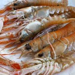
Coop at Scarinish for supplies; Ceabhar Restaurant and Bun Dubh Crafty Environpunk Brewing – great food and microbrewery, say no more. Yellow Hare Cafe – delicious coffee and cakes right by CalMac ferry. Tiree Lobster & Crab – sumptious, fresh seafood from the portacabin next to the Coop in Scaranish; try their amazing lobster or crab baguettes. Scarinish Hotel – slightly jaded decor but the food and views are well worth the trip.
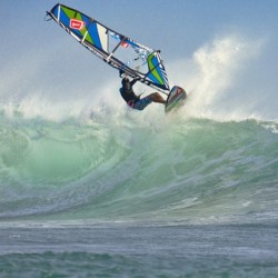
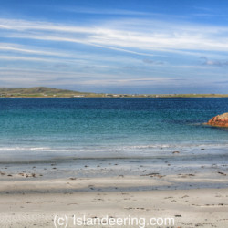
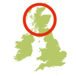
The most westerly island in Scotland’s Inner Hebrides, its Gaelic name, Toriodh means ‘the land of corn’. Vast stretches of white sand beaches, a high number of sunshine hours and a strong wind that remains untamed by the flat landscape has turned it into a mecca for windsurfers and earnt it the title of ‘Hawaii of the North’ by some and the ‘land beneath the waves by others’.
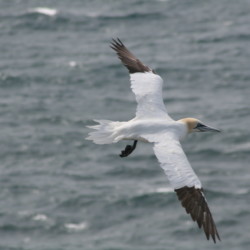
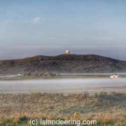
The high point, Carnan Mor, is a solitary, 141-metre hill in an almost treeless landscape; inland it is rough land whilst the coastal fringes are populated and farmed. Its 58 km of coastline is made up of numerous wild, crescent-shaped bays – each with fine, white sand, as perfect as the next, and near deserted. The Gulf Stream warms the waters around Tiree and its near-neighbour, Coll, and they full of marine life. You’ll likely see something in the water, whether it’s a minke whale, white-beaked dolphin, harbour porpoise or basking shark in Gunna Sound, the narrow waters between Tiree and Coll. That’s not to mention the diving gannets, arctic terns and dive-bombing arctic skuas
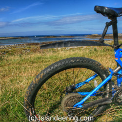
A varied coastal bike ride route that follows the island tracks, quiet island roads and some paths where a push is necessary. Starting at Tiree’s ferry terminal the clockwise route heads west along the main island road before exploring the tracks and dunes of the south-west tip and the bird-filled Loch a’ Phuill. Heading up the west coast to the base of, Beinn Hough, the route then turns north-west to reach one of the best island beaches at Traigh Thodhrasdail. This section follows sandy tracks through the dunes, parallel to Hough Bay, before reaching the island road that parallels the north coast and continues to Balephetrish Bay.
Here an optional loop around the Bay requires pushing the bike along the coastal path to explore the Ringing Stone, a erratic moved from Rhum during the Ice Age. The stone emits a metallic ring when struck and has a number of cup markings generally associated with the period of the Megalithic builders. The route passes Dun Mor Broch and returns to the road and Gott Bay in the south of the island. There is then an option to explore the off-road route around the north-east corner of the island near Miodar, Gunna Sound and more of the lanes and tracks around the eastern tip before returning to the road along the incredible Gott Bay to the ferry terminal.
There are easier routes along the quiet roads of Tiree alone, without doing the more demanding extensions detailed in the route. Bike hire available at Tiree Fitness.
By sea – CalMac ferry from Oban (4 hours)
By air – you can fly from Glasgow with Loganair
Public transport on Tiree –on-demand ‘Ring n Ride’ bus service between 0700 and 1800; call ahead on 01879 220419
We continuously find new islands, rivers, lochs, canals and coast to walk, SUP and swim in and meet plenty of great folks along the way. Join our community to get new routes and adventures, latest blogs and news by using the email box below. Tune in also to our Facebook and Instagram pages to see where we are going next.
