


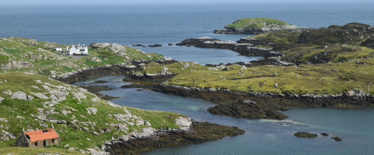
This is a bit of a grand cycling tour of some excellent cafes and restaurants and a true celebration of local food. Here’s some of our favourite places to eat along this route:
The Anchorage, Leverburgh – think haggis and black pudding bon bons and good portions of fish and chips
The Butty Bus, Leverburgh – great place for soup or breakfast and a chat to the locals
Temple Cafe, Northton – a mini stone hobbit house on the beach with good soups, bread and bakes
Machair Kitchen, Talla na Mara – great seafood and local fare from the decks with one of the best views in Harris and a great place to drink Harris Gin. Nearby, there is also the new and excellent pop-up restaurant Flavour
Skoon Gallery, Geocrab – excellent coffee and home-baking within an art gallery
Bay of Harris Community Centre, Lackalee – super-friendly cafe great for hearty soup and mighty scones. Have a look through the visitors’ book to find Charles and Camilla’s entry – they were out inspecting the Household tweed no doubt!
Sam’s Seafood, Rodel – a personal favourite try the seaweed roast potatoes, lobster flatbreads or salmon goujons. The list of delicious seafood changes daily. Takeaway only but lovely views to savour.
Harris Community Shop, Leverburgh – well stocked
There is plenty of accommodation on South Harris including a number of excellent campsites.
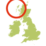
South Harris is linked to Lewis in the north and separated from North Uist in the south by the Sound of Harris. This island offers a lot more to the visitor than the Harris tweed for which it is famed. Full of natural beauty, geological wonder and plenty of cultural and foodie stops this island loop needs to be on everyone’s itinerary.
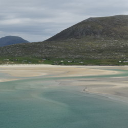
The west coast boasts the show-stopper beaches of Sgarasta Mhor, Seilibost and Luskentyre. The east coast, known as The Bays’, is deeply indented with a patchwork of small lochs, outcrops of ancient rocks. Here the isolated communities are linked together by the historic Golden Road between Drinishader and Leac a Li and winds and undulates through the lunar landscape. The route then continues south through the wild and watery landscape of the Bays of Harris.
This is a roller-coaster of a road route that takes in all of the natural, cultural and foodie highlights of this wonderful island with stunning beach scenery along the west coast and wild and stark scenery along the east.
Heading north from Leverburgh the clockwise route follows the legendary Hebridean Way passing the epic beaches of the west coast, climbing the high pass between Grosa Cleit and Uabhal Beg, before turning off to follow the single-track Golden Road to Leac a Li and then onwards through the Bays of Harris.
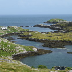
The east coast route passes through lunar-looking landscape. Grey rocky outcrops, the oldest exposed rock in the world, juxtaposed with patches of green and splendid waterlily-filled lochans, edged with the wonderfully named bog bean. It winds and undulates through a mix of small communities with Gaelic and Viking names that will leave you tongue-tied. There are plenty of opportunities to soak up the cultural heritage of Harris along the way and have a well-deserved break. For a Tweed-fest pull over at Plocrapol, which still hand-weaves Harris Tweed in the traditional way. There are fantastic art galleries at Holmasaig Gallery, Finsbay Gallery, Skoon Art Cafe, Ardbuidhe Gallery and the Mission House. Definitely take time to enjoy the stunning viewpoint at Manish and don’t miss Finsbay to view the seals basking on the rocks. You’ll know that you are coming up to it by the number of cars parked on the verge. This whole section feels more high mountain plateau than low level coastal.
The southern end of the east coast route reaches Rodel with the wonderful St Clement’s Church above the tranquil harbour – both are well worth a visit and good toilets are available. The route climbs out of Rodel before the final descent into to Leverburgh – the best way to finish this energetic ride.
Ferry: there are a choice of Calmac ferry routes including from Uig on Skye to Tarbert on Harris; from Berneray on North Uist to Leverburgh on Harris; and from Ullapool on the mainland to Stornoway on Lewis (then south by road).
Bus: There are five buses between Leverburgh and Tarbert, taking 45 min. Most continue to Stornoway on Lewis which takes another hour.
Other islands nearby:
Isle of Lewis more
Isle of Barra more
North Uist more
Vatersay more
Berneray more
Best things to do on Isle of Harris:
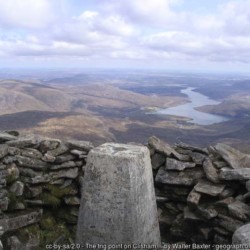
Walk to the island’s highpoint more
Visit the best beaches on Harris more
We continuously find new islands, rivers, lochs, canals and coast to walk, SUP and swim in and meet plenty of great folks along the way. Join our community to get new routes and adventures, latest blogs and news by using the email box below. Tune in also to our Facebook and Instagram pages to see where we are going next.
