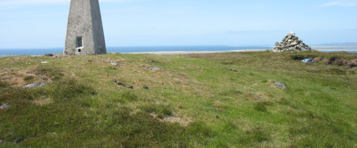
The ascent of Reuval (124 metres) is a 3.5 km walk with 130 metres of ascent that follows a stony track, then moorland path.
Turn off the A865 at the crossroads less than half-way down the island from the causeway to follow the brown road signs for ‘Reuval footpath’. Start the walk from the car park at the landfill site (GR NF 815 533). Walk along the track, over a cattlegrid, and along Loch Ba Una. Follow the cairn marking the smaller track to the left and the path through the moorland. Climb quite steeply to reach the trig point. Great views of Beinn Mhor and Hecla on South Uist, the Cuillins on Skye to the east and Eaval on North Uist – all rising from the watery landscapes below. Return the same way.
For more island adventures check out our book Islandeering: adventures around the outside edge of Britain’s hidden islands


